Dusy/Ershim OHV Route
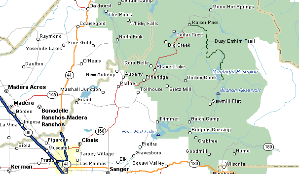
Perhaps the hallmark of the Sierra National Forest's 12 OHV routes, Dusy/Ershim traverses some of the most spectacular features of the forest as it winds through its 30-mile corridor between the Dinkey Creek and John Muir Wilderness areas. Its traditional trailhead begins at Courtright Reservoir and ventures three miles to Voyager Rock Campground. Thereafter, the trail deteriorates to a very difficult Class C that takes a minimum of two days to travel its entire length to Kaiser Pass Road, above Huntington Lake. The "Mason Dixon" line of the Dusy/Ershim route is the 50 degree-angle Chicken Rock and it has humbled many a driver with a vehicle lacking adequate horsepower. Take your time, drive cautiously and you'll probably make it without any problems.
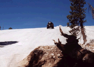
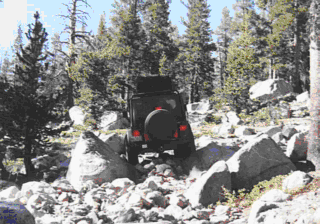
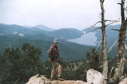
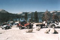
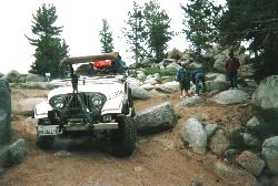
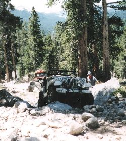
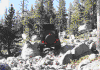
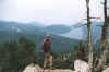
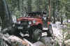
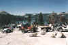
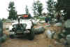
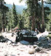
Here are some pictures of the Dusy:

Check out the following web pages on the Dusy:
Dusy
Ershim by Gorp.
Dinkey
Lakes Wilderness
California
Jeepers Dusy Review
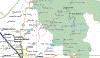
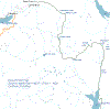
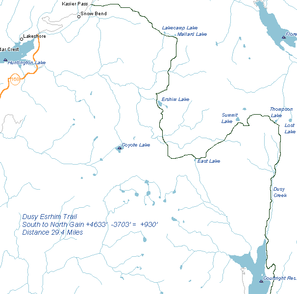
Here are some maps of the Dusy Area.